Single disc block + HV
Single disc block + HV Prijsklasse: € 104,93 tot € 249,70 Incl.
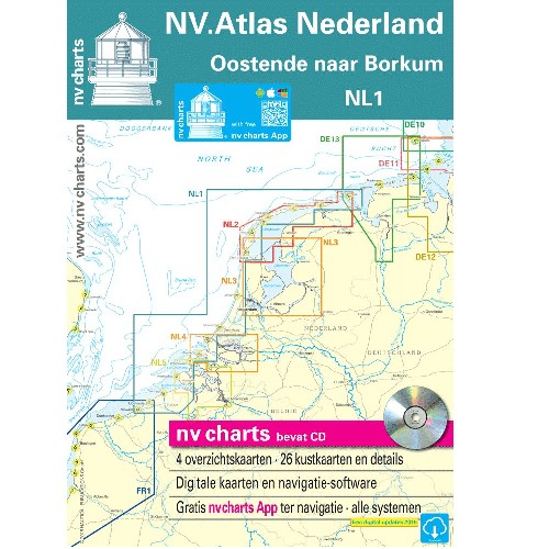
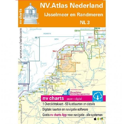
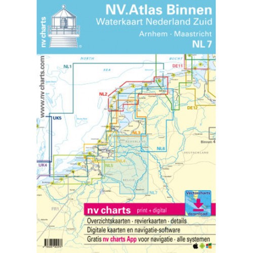
Back to products

ATLAS MAP Germany DE12 2025

For water sports enthusiasts who want to travel the region around Bremen, Oldenburg, Bremerhaven and Wilhelmshaven, the DE12 from NV Charts is the right chart set to have on board.

EAN: 9783910644229 SKU: 70.61.0073

 64,99 Incl.

14 People watching this product now!
  • Pick up at CIV Harlingen or Lauwersoog

Free

  • Delivery

1 - 3 Business Days

From €7.20

  • Warranty 1 year
  • Free 30-Day returns

Payment methods:

Description

For boaters who want to travel the region around Bremen Oldenburg Bremerhaven and Wilhelmshaven, NV Charts' DE12 2024 is the right chart set to have on board. As a federal waterway, the Weser is a busy stream that should not be navigated without updated charts. Bremerhaven is a traditional port city that includes the German Maritime Museum and is home to Germany's largest overseas port after Hamburg. From here you can reach the German Bight or the Jade Bay the large bay between the Lower Weser and the East Frisian Islands. The tidal range at the mouth of the Weser and also at the Jade Bay is between 315 and 433 m and is unusual at first for Baltic boaters but with some preparation and updated maps it is worth a trip. From Bremerhaven it is also possible to sail to Germany's only high seas island. It is not far to Helgoland with a distance of about 50sm. Here there are numerous tourist facilities restaurants and bunkering possibilities.