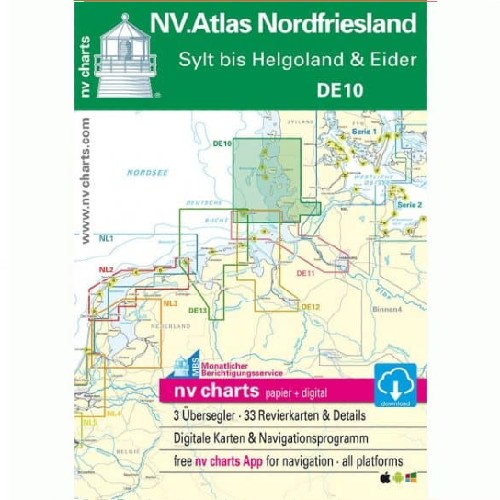
- Pick up at CIV Harlingen or Lauwersoog
Free
-
Delivery
1 - 3 Business Days
From €7.20
For the southern half of the Dutch inland waters, you are well equipped with the NL7 2024.
€ 64,99 Incl.
Free
1 - 3 Business Days
From €7.20
Payment methods:
For the southern half of the Dutch inland waters, you are well equipped with the NL7 2024. Together with the NL6 (Waterkaart Nederland Noord), the country's inland waterways are fully covered. The atlas covers the cities of Maastricht Eindhoven Nijmegen Roermond and Arnhem, among others. The canals typical of the Netherlands are almost all navigable and interconnected. The varied south with its canals and charming towns offers many opportunities for leisurely cruising. Unlike the areas on the North Sea, strong wind currents and tides are usually not so pronounced in the inland waters so you can take it a little easier. It is therefore the perfect place for beginners or sailors who want to gain some extra experience. Those looking for harmony and not too concerned with currents and tides will have a lot of fun in the inland waters and with the NL7! Thanks to the clear layout of the sea chart, the recreational skipper quickly finds approach routes ports and anchorages and is alerted to navigationally important details that also appear in the NV Charts app. Data on locks and bridge heights are also available for navigation programs and app. The chart series impresses with its detailed scales and optimal leaf cross-sections.