-
 Delivery

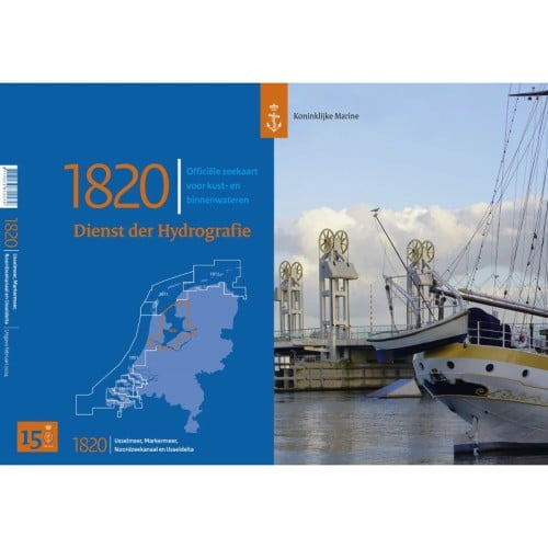
Hydro map 1820 IJsselmeer 2025
€ 39,95 Incl.

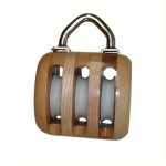
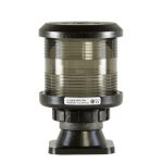
Double disc block
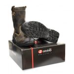
Prijsklasse: € 137,38 tot € 333,28 Incl.

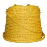
Vaak samen besteld