
-
 Delivery

ATLAS MAP GERMANY DE10 2024
€ 64,99 Incl.

Hydrokaart 1811 Waddenzee West 2026
€ 39,95 Incl.

Vaak samen besteld
EN 1820 IJsselmeer with Randmeren and North Sea Canal.
€ 39,95 Incl.
Free
1 - 3 Business Days
From €7.20
Payment methods:
EN 1820 IJsselmeer with Randmeren and North Sea Canal.
The IJsselmeer is probably the most popular Dutch sailing area. It offers a variety of lovely harbors and towns so you can easily spend an entire trip without having to leave the protected area.
Card format
Dutch sports boat maps are handy maps in the format 52 x 38 cm. They contain all necessary map fragments for the respective areas in the best scales. They are printed in very clear color and contain striking landmarks in graphics.
Update
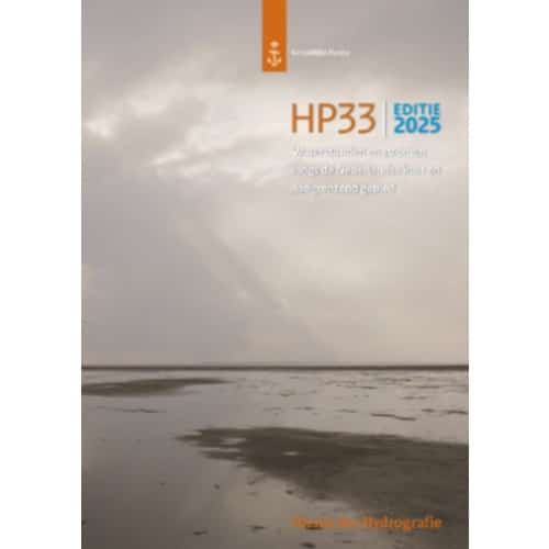
The official nautical charts of the Dutch Hydrographic Service are reissued at irregular intervals. The intervals of the updates take place within 2 and 3 years throughout the year and not just at the beginning of the season in spring. Changes to the nautical charts can be found on the website of the Dutch Hydrographic Service via the Notices to Mariners.
Sports boat maps from the Dutch Hydrographic Service
The Hydrographic Service of the Royal Navy informs seafarers about shipping routes, the seabed and underwater hazards such as shipwrecks. To this end, the Hydrographic Service compiles sea charts, accurately determines the maritime boundaries of the Netherlands and carries out depth measurements. 7 sets of nautical charts are issued for pleasure boating, each covering a coastal area.
Recommendation
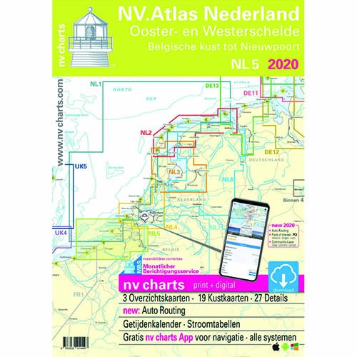
For those who prefer more up-to-date nautical charts in combination with a rectification service, the NV charts (NL1-NL7) of the Netherlands should be chosen. These are republished annually in March and are therefore more up to date than the 1800 series.