

-
 Delivery

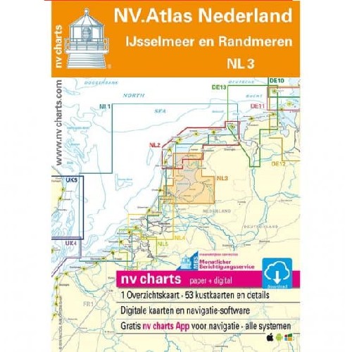
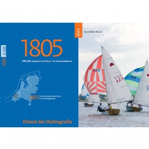
ATLAS MAP NL3 IJsselmeer/Randmeren 2025
€ 64,99 Incl.

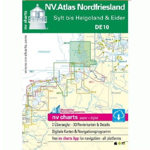
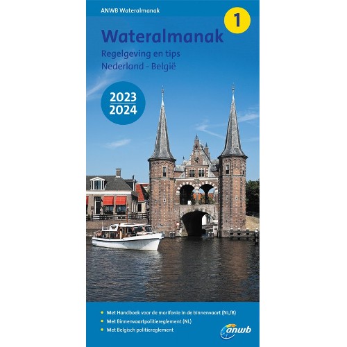
ATLAS MAP GERMANY DE11 2024
€ 64,99 Incl.

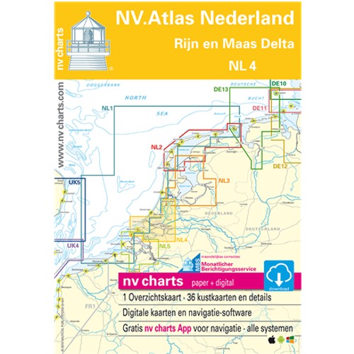
Vaak samen besteld