
-
 Delivery

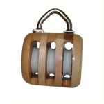
Single disc block
Prijsklasse: € 101,80 tot € 232,09 Incl.

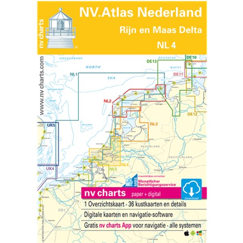
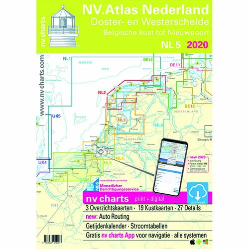
ATLAS MAP NL2 Wadden Sea 2025
€ 64,99 Incl.

Vaak samen besteld